Thomson Survey provides a professional service associated with experienced knowledge of the Local Council District Plans. Each project is customised to meet the individual needs of each of our clients, efficiently utilising the latest modern equipment and innovation.
Thomson Survey are experienced in Land Development, whether it is an 800m2 site or a site that has the potential to be subdivided into several hundred lots.
We regularly work with other professionals, such as engineers, architects, landscape architects, solicitors, real estate agents, and we have a close working relationship with local and national government groups.
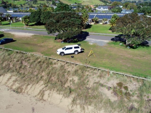
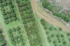
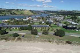
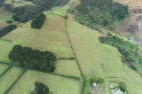
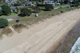
Using orthorectified imagery our drone can survey any area that we can then geolocate the image to be in terms of your boundary.
Speed
We have surveyed a 70 hectare property with a flight time of 1.5 hours. Less than a day's work that would typically take more than a week using conventional methods.
Safety
The drone can fly into areas that are not safe for people to work in. Areas such as cliffs, high banks, deep holes, and limited access areas are not a problem anymore.
Deliverables
We can produce contour plans with the drone image as a background picture. We can also send clients a .kml file that can be viewed on programs like Google Earth.
Point clouds
Point cloud data is useful for design, 3D viewing, and creating digital terrain models (DTM). The drone can quickly survey ground elevation over large areas - up to 50mm accuracy.